Custom mapping services and solutions
Volpis builds custom mapping solutions across web and mobile. Our custom mapping services span seven major mapping platforms, and cover the full range – from full-cycle product development to consultation on platform choices. We’ve shipped custom mapping software for different verticals: fleet management platforms, indoor wayfinding systems, AR-enhanced navigation, and geospatial analytics tools.

Years of mapping expertise
Mapping solutions built
In-house Talents
ACHIEVEMENTS
Recognized for consistent delivery
With about 30 positive reviews on Clutch and 100+ completed projects on Upwork, we’re recognized as a top software development partner for custom mappping.



CLIENTS
Trusted by leading global brands
From startups to Fortune 500 companies, we’ve partnered with organizations across industries to design and deliver high-performing digital products — including custom mapping and location-based solutions — that drive real business value.






SERVICES
Custom mapping services we provide

Custom map application development
Build production-ready mapping apps for web and mobile from concept to launch. We help you with choosing the right platform, SDK and API integration, custom styling, and the full back-end and mobile lifecycle.

Real-time location tracking
Create real-time tracking systems for fleets, deliveries, ride-hailing, asset management, and family-safety apps. Our infrastructure follows thousands of moving vehicles, people, and assets live, without draining batteries.

Navigation app development
Develop custom navigation apps with turn-by-turn directions, live traffic updates, route guidance, and offline support. Build for logistics, mobility, travel, and any product where navigation is core to the experience.

Geospatial data visualization
Transform complex location data into interactive visuals with heatmaps, clustering, live layers, dashboards, and spatial analytics. The app helps your team see movement patterns, and GIS insights directly on the map.

Indoor mapping solutions development
Turn floor plans into interactive indoor maps with step-by-step navigation for indoor spaces. Our solutions help people find their way around complex venues like airports, shopping centers, hospitals, and warehouses.

Route optimization
Build road-aware routing that cuts delivery time and fuel cost, accounting for time windows, vehicle constraints, live traffic, and last-minute changes. Our dispatch engines and driver apps keep your team moving in any conditions.

Map performance optimization
Profile and fix what slows mapping products down at scale – rendering millions of objects, battery drain, ETA accuracy under load, and server costs that grow non-linearly.

AR-powered map experiences integration
Overlay turn-by-turn directions onto the real world through a phone camera, and anchor 3D points of interest where they belong in physical space. Bring AR navigation to the venue where on-screen maps aren’t enough.
HOW WE WORK
Cooperation models

Product development
You have a vision for a mapping product but lack the technical team to bring it to life? We help turn concepts into market-ready mapping products. From platform selection and discovery to full product launch and scale.
- Platform selection, discovery, and requirements definition
- End-to-end design, development, and testing across mobile and web
- Scaling, performance optimization, and post-release support

Staff Augmentation
You need mapping expertise on your team fast? Bring our specialist mapping engineers into your in-house team while keeping full control over processes, priorities, and delivery.
- Immediate access to mapping specialists across Google Maps, Mapbox, MapKit, HERE, and more
- Direct control over daily tasks, communication, and delivery
- Flexible scaling up or down based on project needs

Dedicated Team
You look for a team that acts as an extension of your company? Our dedicated mapping teams embed into your workflows, priorities, and culture, delivering stable, predictable, long-term work on map-heavy products.
- A long-term, cross-functional team fully committed to your mapping product
- Transparent processes and shared ownership of results
- Flexibility to scale the team up or down based on roadmap changes
Not sure which model fits your mapping project?
Share your idea and we'll help you choose the right model, estimate scope, and plan delivery.
DEVELOPMENT TOOLS
Mapping technologies we work with
Mapping Platforms and SDKs
Routing and Navigation Engines
Spatial Databases
Tile Servers & Geospatial Processing
Vector & Raster Formats
3D, BIM & Point Cloud Formats
Visualization & Geospatial Libraries
Indoor Positioning Technologies
AR and Spatial Computing
Languages and Application Stack
Not sure which map provider to choose?

CTO & lead iOS developer
Yuriy Yatseyko
Yuriy, with 10+ years of delivering engineering projects, has shipped products on every major mapping platform – Google Maps, Mapbox, HERE, MapKit, and more. Get his honest read on which provider and architecture fit your product in a free 30-minute call.
INDUSTRIES
Industries we build custom mapping solutions for

Logistics & Supply Chain

We build map-based products for moving goods through complex networks — last-mile delivery routing, warehouse and yard layouts, geofencing, and shipment visibility from origin to destination.

Field service & emergency response
We build map-based products for teams who operate on the ground — pre-planning assets on a map, dispatching crews, sharing live teammate locations, and managing infrastructure across thousands of locations.
Other Industries

Beyond our core domains, we’ve delivered mapping solutions across retail, real estate, hospitality, utilities, IoT, and connectivity — wherever location data needs to become a product.
WHY US
Why choose Volpis for custom mapping software development?

Deep mapping expertise
Our developers have shipped products on almost every platform. Including Google Maps, Mapbox, Apple MapKit, HERE, TomTom, and OpenLayers. We know how each platform behaves under real production workloads and help you choose the stack that actually fits your business, scalability, and cost requirements.

Indoor & outdoor navigation expertise
We build both indoor and outdoor navigation solutions. Our team has broad experience – from warehouse and airport wayfinding to turn-by-turn navigation for logistics, mobility, and field operations. The apps we deliver feature routing, positioning, offline navigation, and work in complex multi-floor environments.

Experience with complex industries
We work across logistics, fleet management, mobility, IoT, and enterprise products where scalability, reliability, and operational stability are critical. Our team understands the technical and business challenges behind location-heavy systems.

Full-cycle product delivery
Volpis provides full-cycle product development with 50+ in-house specialists covering backend, frontend, mobile, design, QA, and business analysis. We build complete mapping-driven products, not just map integrations layered onto existing systems.

Built for scale
We build mapping products that beat scaling challenges – millions of objects to render, battery drain, live synchronization, ETA accuracy, and infrastructure costs growing under load. We bring optimization experience from real production fleet and indoor navigation systems.

Flexible partnership models
We adapt our collaboration model to your business goals, internal processes, and delivery needs. Choose the engagement model that fits you the most – dedicated team, staff augmentation, or end-to-end product development.
Security
and IP Protection
Have a mapping project in mind?
Showcase
Custom mapping software we’ve built
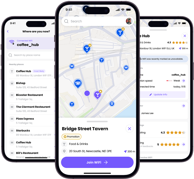
Purple ConneX
CONNECTIVITY
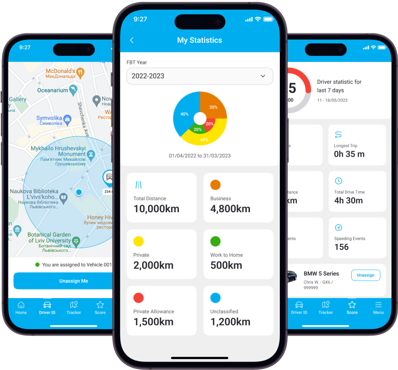
Rand One
FLEET MANAGEMENT
Vera
LANDSCAPE DESIGN

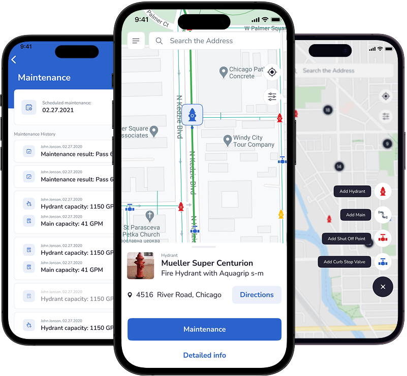
FlowMSP – Water
PUBLIC SAFETY
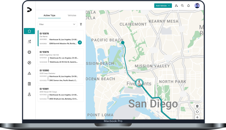
FleetSo
FLEET MANAGEMENT
Seaport Marina
HOSPITALITY

What our clientssay
Across mapping products and beyond – clients share what working with our team actually delivered.
The applications are highly-rated on both Google Play and the App Store, receiving over 80,000 downloads and 2,000 active users a day. The team manages the project well using JIRA and Trello tools. They give useful advice, provide excellent feedback, and are generally responsible and communicative
Mikhail Dzarasov, Founder & CEO, Road Hunter
Volpis – Mobile and Web Development provides UI/UX design for an intralogistics solutions firm. The team of UX/UI Designer and Business Analyst diligently works on crafting essential software modules for our new WMS. This encompasses elicitation meetings to capture business processes and product requirements, analysis & wireframing, design review sessions to collect stakeholder feedback, and eventually UI design.
Oleg Solovey, Managing Director, Hoerman-Intralogistics PL/CZ
Volpis has become a core partner for the SaaS connected vehicle and fleet management project. They had launched the first version of the app within three months of their partnership. Their developers produce high-quality code and effective features on the app while taking the company’s requirements into strong consideration.
Adam Ricketts, Head of Product & Customer Success, Fleetsu
Insights on building mapping products

Mapping & navigation, Software development
Mapbox API vs Google Maps API for app development in 2026: comparison of features & our experience

Mapping & navigation, Software development, UX/UI
How to display a large number of objects on a map

Mapping & navigation, Software development
Custom navigation app development: how to make a navigation app (guide for startups)
Questions & Answers
FAQ
How to make a custom map?
Making a custom map involves three steps: choosing the right mapping platform (Google Maps, Mapbox, MapKit, HERE, or open-source like OpenLayers and MapLibre), preparing your spatial data (markers, layers, tiles, GeoJSON), and integrating the map into your web or mobile product with custom styling, interactions, and the back-end logic that powers it.
The trickier choices — platform selection, licensing costs, performance at scale, and how to structure your data — are where most projects either succeed or get stuck. At Volpis, we help teams work through these decisions and build production-ready custom maps across seven major mapping platforms.
How do I choose the right map provider for my project?
The choice comes down to four trade-offs: licensing cost (Google Maps and Mapbox charge per request, MapKit is free on Apple platforms, OpenLayers is open-source), data quality and coverage (Google leads in most countries, HERE and TomTom lead in trucking and navigation), feature set (3D, indoor, offline, routing engines), and platform fit. Picking the wrong provider can mean unsustainable bills at scale or rewriting the map layer later.
Can you take over a mapping project that’s already underway?
Yes. We regularly join projects mid-flight — to fix a struggling map integration, optimize performance, replace a previous team, or add specialist mapping expertise to an existing in-house team. A typical handoff starts with a short audit of the current codebase, a recommendation on what to keep vs. rewrite, and a plan to ship.
How long does it take to build a custom mapping solution?
A small map integration (e.g. embedding a styled Google Map with custom markers and basic interactions) can take 2–4 weeks. A custom mapping product — like a fleet tracking platform or indoor wayfinding app with backend, mobile, and web — typically takes 4–9 months depending on scope. A short discovery phase (1–3 weeks) lets us give you a precise estimate before committing.
Do you also work with GIS and geospatial software development?
Yes. Beyond consumer-style maps, we build GIS and geospatial applications — spatial analytics dashboards, asset management systems, indoor positioning, field data collection tools, and integrations with PostGIS, GeoServer, and tools like deck.gl. Projects like FlowMSP Water (mapping tens of thousands of connected water utility assets) are typical of this work.
Do you build indoor mapping solutions?
Yes — indoor mapping is one of our core offerings. We build interactive indoor maps with turn-by-turn navigation, blue-dot positioning, and multi-floor wayfinding for venues like airports, shopping centers, hospitals, warehouses, university campuses, and cruise ships. We work with Mappedin, MapKit’s Indoor Maps, and custom indoor positioning systems depending on the venue and use case.
Learn more about our indoor mapping services →
Can you help with map provider migration?
Yes. Migrating from one map provider to another — typically Google Maps → Mapbox to cut costs, or moving to HERE/TomTom for better routing or trucking data — is work we do regularly. A migration usually involves replacing the SDK layer, re-styling the map, re-implementing custom features (markers, clustering, routing), and re-testing offline and performance behavior on every supported platform.
We start with a short audit of the current implementation, a feature parity map, and a phased migration plan that minimizes downtime — so you can move providers without breaking the product for existing users.
Contact us to discuss your project
For project inquiries only:
sales@volpis.com
For other questions:
info@volpis.com