From AR and AI to 5G and better accessibility, indoor navigation is becoming more accurate, personalized, and inclusive than ever.
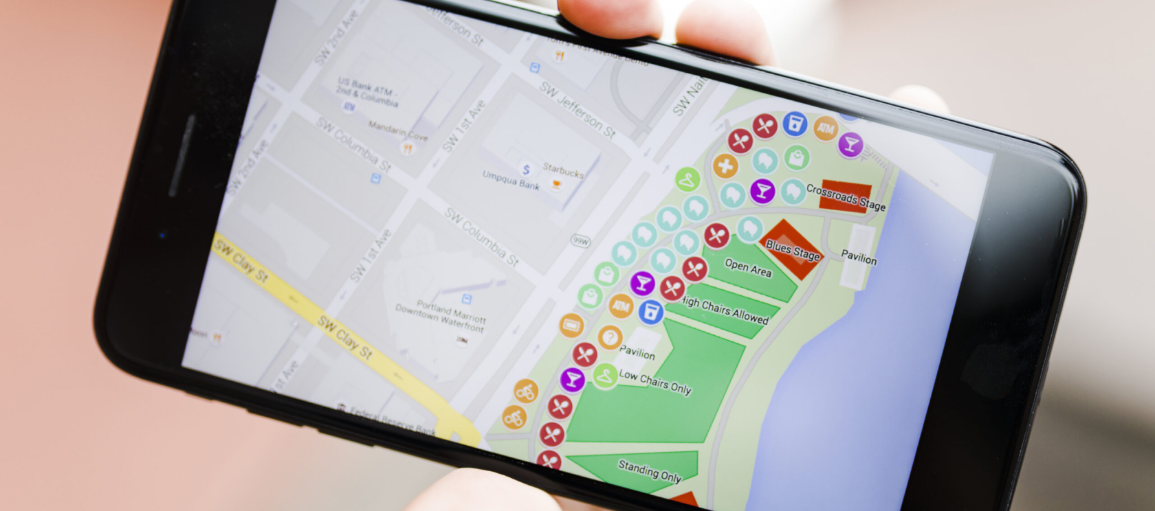
In fact, the global indoor navigation market size is expected to hit US$ 102.43 Bn by 2029. This huge market growth is driven by the increasing demand from businesses like malls, airports, hospitals, and logistics companies. Companies are using indoor navigation apps to help customers find their way, send them special offers, add cool AR features, track assets, and so much more.
For example, in shopping malls, indoor navigation apps are used to guide shoppers to specific stores, unlock exclusive coupons based on their location within the mall (proximity marketing), and show a virtual representation of the item overlaid in the real environment.
Our team at Volpis has spent years creating custom navigation solutions for businesses, consistently earning recognition as one of the top software development companies on Clutch. And in this article, we want to explore the hottest indoor navigation trends, highlighting the innovative features we implement in the apps we build for our customers.
If you have any questions about implementing indoor navigation for your business, we would be happy to answer all your questions and give honest advice. You can always reach out to us via info@volpis.com with any questions.
Main indoor navigation trends of 2026
Indoor navigation tech has come a long way. Here are the biggest industry trends to keep an eye on:
1. Integration of augmented reality (AR)

AR is changing the game for indoor mapping by layering digital info onto the real world:
- Enhanced navigation: AR can show real-time visual guides like arrows and paths on your phone or AR glasses, making it super easy and fun to navigate.
- Interactive experiences: AR can provide extra details about points of interest, exhibits, or products, creating a richer and more immersive experience.
- Gamification: Venues can use AR to create interactive games and activities.
2. Artificial Intelligence (AI) and Machine Learning (ML)

AI and ML have become key players in positioning and indoor navigation:
- Predictive navigation: AI algorithms can predict how users will move and what they prefer, giving personalized routes and suggestions based on past actions and current data.
- Improved accuracy: ML models keep making indoor mapping systems more accurate by learning from how users behave and adjusting to changes in the surroundings.
- Automated assistance: AI-driven virtual assistants can give users live guidance, answer queries, and offer help as they move around a place.
3. 5G connectivity

With faster data speeds, lower latency, and better coverage, 5G makes everything smoother and more reliable:
- Real-time updates: 5G lets maps and navigation info update instantly, so you always have the latest data.
- Enhanced AR experiences: The high bandwidth and low latency of 5G make AR apps more immersive and responsive.
- IoT Integration: 5G makes it easier to connect with IoT devices, so tracking assets and people indoors becomes more accurate.
4. Indoor Positioning Systems (IPS) advancements

Indoor navigation is getting a serious upgrade, thanks to advancements in IPS:
- Multi-sensor fusion: By pooling data from different sensors like Wi-Fi, Bluetooth, RFID, and UWB, IPS can pinpoint your location with impressive accuracy.
- Infrastructure-free solutions: Forget about needing a ton of infrastructure. New tech like geomagnetic positioning and visual-based navigation is making indoor positioning simpler to set up in more places.
- Context-aware navigation: IPS can take into account things like the time of day, what you like, and the environment around you. This means you’ll get guidance that’s more personalized and relevant to what you’re up to.
5. Enhanced accessibility features

Indoor navigation systems are becoming more inclusive, offering enhanced features for users with disabilities:
- Voice-guided navigation: Using advanced natural language processing (NLP) technology, these systems can understand spoken commands. Improved voice recognition and synthesis are making voice-guided navigation more accurate for visually impaired users.
- Haptic feedback: Wearable devices and smartphones can utilize haptic feedback to guide users through tactile signals. This feature will benefit those with visual or auditory impairments.
- Customizable accessibility options: Users can customize navigation settings to suit their specific needs, such as larger text, high-contrast modes, or simplified interfaces.
6. Data privacy and security

Privacy and security are big deals in indoor mapping these days. With more data being collected, it’s crucial to keep things safe and private for users. Here’s what’s in store:
- Anonymized data collection: To protect privacy, systems are getting better at anonymizing user data while still getting useful insights.
- Secure data transmission: Stronger encryption and secure protocols keep navigation data safe from unauthorized access.
- User control: Users have more say over their data, with clear options to manage permissions and understand how it’s used.
7. Blockchain in navigation security

Blockchain offers a super secure way to store, verify, and share navigation info. Here’s why it’s the future:
- Decentralized data management: Your navigation data isn’t stored in one vulnerable spot. It’s spread across multiple nodes, making it harder for hackers to breach.
- Immutable records: Once something’s recorded in the blockchain, it cannot be altered. No one can sneak in and change it, ensuring your navigation data stays true.
- Enhanced transparency: Blockchain keeps a clear, transparent record of everything. You can always check the authenticity of your data, building trust and accountability.
- Smart contracts: Blockchain can facilitate smart contracts that automatically enforce security protocols and data privacy agreements, ensuring compliance and reducing the risk of unauthorized data access.
8. Green navigation solutions

This trend considers environmental factors such as energy efficiency, sustainability, and ecological impact. For example, the public sector is increasingly adopting indoor navigation IPIN for environmental monitoring in healthcare facilities, highlighting the importance of precise indoor positioning for quality control.
- Energy-efficient systems: Utilizing low-power sensors and optimizing algorithms helps to reduce energy consumption.
- Green materials: The use of environmentally friendly materials in navigation infrastructure is reducing the carbon footprint of positioning and indoor navigation systems.
- Sustainable practices: Indoor navigation systems integrate with sustainable practices such as waste reduction and energy conservation, promoting environmental stewardship.
How we can help you implement indoor navigation for your business
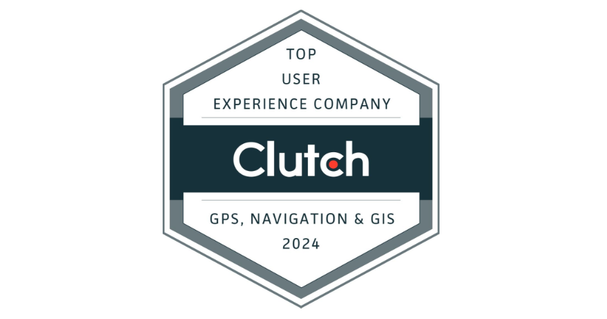
Volpis team has been leveraging the power of indoor positioning technologies to assist business owners in achieving unparalleled milestones. We are proud to have received Clutch Award as one of the top user experience companies in GPS, Navigation & GIS. We would be happy to build an exceptional navigation application for your business.
Our commitment to excellence is reflected in the glowing reviews from our customers, who consistently praise our dedication to delivering exceptional results. We invite you to explore our portfolio for a detailed look at the innovative software systems we have developed for our clients.
We’d love to answer any questions you may have. You can reach out to us info@volpis.com with any questions or to explore how we can be part of your journey.
Questions & Answers
FAQ
What is an example of indoor navigation?
Indoor navigation is like GPS, but for finding your way inside indoor environments. For example, in places like malls or airports. With advancements in global indoor positioning, you can now get more precise directions, including distance and angle measurements, for a better indoor location-based services experience.
What is the indoor positioning and navigation market?
Indoor positioning and navigation are experiencing tremendous market growth. The indoor navigation market size was worth $8.53 billion in 2022, and by 2029 the indoor navigation market share is expected to reach $102.43 billion. According to the indoor navigation market report, the global market value is growing at a compound annual growth rate of 42.63% during the forecast period. This growth is driven by the increasing demand for location-based services. Market drivers of global indoor positioning are major advancements in technologies like precise point positioning, which is revolutionizing indoor mapping in various industries, fueling the market growth significantly. The market value of the indoor navigation industry is poised to surge during the forecast period, with indoor location-based services playing a pivotal role in enhancing customer experiences and operational efficiency.
What are the technologies used in indoor navigation?
Indoor navigation uses technologies like Wi-Fi, Bluetooth, RFID, and magnetic positioning to help you find your way inside buildings. Precise point positioning and indoor location-based services are becoming crucial for indoor environments. There is a growing demand among major players and major vendors for implementing artificial intelligence and data analysis to optimize routes, enhance user experiences, and cater to the growing demand for accurate navigation solutions. Ultra wideband technology is emerging as a game-changer in indoor navigation, offering accurate ranging and low-cost solutions that cater to the needs of various indoor environments. Bluetooth Low Energy (BLE) is being extensively utilized in indoor navigation systems for ranging accuracy and route optimization, significantly improving the overall customer experience.
What is indoor navigation also known as?
Indoor navigation is also called an indoor positioning system (IPS), which helps you find your way in places where GPS systems might not work well, like inside buildings or underground.
Can GPS be used for indoor navigation?
GPS (that is used in satellite positioning systems) as well as GNSS (global navigation satellite system that uses navigational satellites from other networks beyond the GPS system) don’t work well indoors. Instead, indoor positioning systems (IPS) can offer detailed information about your location inside buildings, similar to how satellite positioning works in outdoor environments.
How do you develop indoor navigation?
To develop an indoor navigation system, start by collecting detailed floor plans, choosing the right mapping software, digitizing the floor plans, integrating indoor positioning systems (IPS), designing the user interface and experience, testing the system, and implementing augmented reality. Finally, launch the system and gather user feedback.
What is the meaning of indoor positioning?
Indoor positioning means determining the position of a person or object inside a building using devices like smartphones, which require an app to work.
What is the latest technology we are using in navigation?
The latest trends in navigation include augmented reality (AR), 5G-powered navigation, autonomous navigation, and personalized navigation experiences, improving both indoor and outdoor location-based services.
What is the indoor wayfinding system?
Indoor wayfinding systems use detailed indoor maps accessible through apps or web interfaces to help users navigate buildings, providing detailed information about key points of interest and offering interactive features. Indoor navigation systems are evolving to provide accurate angle measurements, especially in complex indoor environments.
How do indoor maps work?
Indoor maps transform traditional floor plans into digital representations, offering dynamic and interactive views of indoor spaces.
How to make an indoor navigation app?
To create an indoor navigation app, you need to gather detailed floor plans, choose the right mapping solution, integrate indoor positioning systems (IPS), design the user interface and experience, test the app, and finally, launch it for users to navigate indoors. With recent developments in various technologies, such apps can offer numerous valuable features, including proximity marketing, data analysis, media access control, light detection, asset tracking, detailed information about the surrounding environment, insights for optimizing store layouts, and so much more.
What are the benefits of an AI navigation system?
AI navigation systems offer real-time updates, optimize routes, and provide personalized navigation experiences. Self learning algorithms help to improve marketing strategies and enhance overall operations.
What is indoor location tracking?
Indoor location tracking enables users to precisely locate people or assets within a building using smartphones, mobile devices, tracking tags, or other devices.